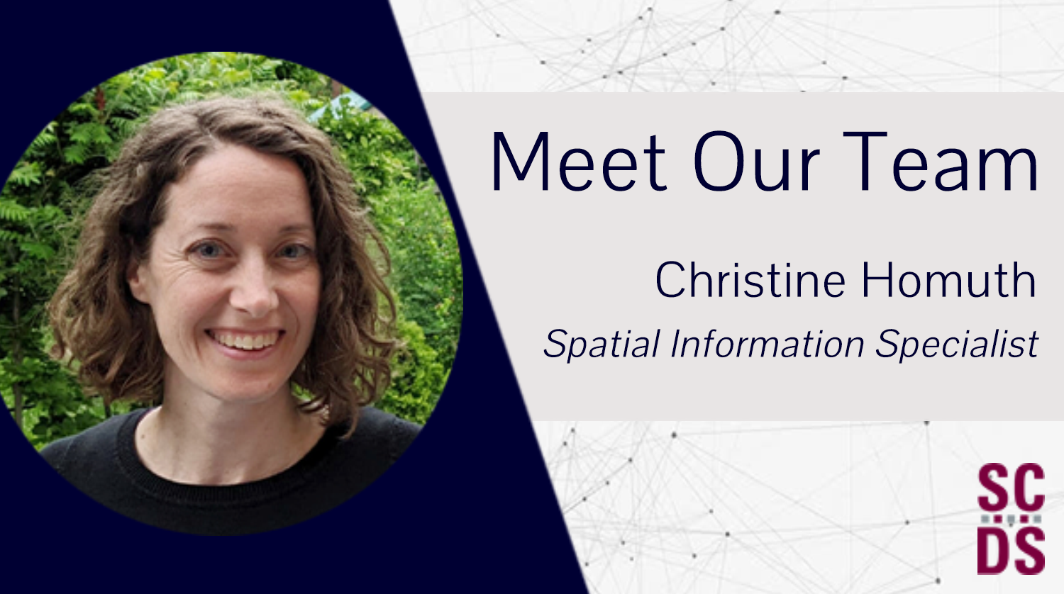
Christine Homuth is the Sherman Centre’s Spatial Information Specialist. She draws on 15 years of experience in Geographic Information Systems (GIS) to support researchers and community members who want to integrate maps into their work. Christine also hosts workshops on StoryMaps and ArcGIS, co-leads the DASH program (Data Analysis Support Hub), and is generally a lovely presence around the SCDS offices.
Learn more about the Sherman Centre’s GIS wiz in this quick Q&A:
SCDS: Take us through a day in the life of a Spatial Information Specialist.
CH: In my role as Spatial Information Specialist, I provide the GIS and geospatial data services in the library. This includes assisting students, staff, and faculty with the use of GIS, whether they’re new to the concepts and software or more advanced users, acquiring and providing access to geospatial data, administering licenses and accounts for the ArcGIS software, and offering instruction sessions or workshops on the tools and concepts. Anything GIS or geospatial data related, I’m here to help!
SCDS: How did you get interested in mapping technology and GIS? STEM is still a male-dominated field, so I’d love to learn more about your path towards a career as a Spatial Information Specialist.
CH: I’ve always enjoyed geography and working with maps. After taking all the geography courses my high school offered and creating maps by hand to include in my assignments (before high schools had GIS), I completed my Bachelor of Environmental Studies at the University of Waterloo and an Ontario College Graduate Certificate in GIS from Fleming College. This led to previous positions with a municipality, environmental consulting company, and for almost 10 years now, academic libraries.

SCDS: You do a lot of work with McMaster University’s Lloyd Reeds Map Collection. Can you take us behind the scenes of the collection and share a favourite holding? Some have appeared in major Hollywood films, but what about the Collection’s hidden gems?
CH: Great question! The Lloyd Reeds Map Collection itself is a bit of a hidden gem on campus. Not everyone is aware that McMaster has a map collection, or the extent of that collection which includes more than 130,000 paper maps, tens of thousands of air photos, and over 3,000 atlases. Many of these have been digitized and made available online through the Library’s Digital Archive.
I don’t have a favourite collection, but I like many of the historic resources and looking at how cities have changed over time or seeing family members listed on maps in the historic county atlases.
SCDS: Over the years at McMaster, you’ve been involved in lots of interesting projects, including mapping community-engaged research partnerships. Can you highlight a particular project that you found especially fulfilling, challenging, or otherwise memorable?
CH: As you’ve highlighted, the Community Engaged Research Partnerships storymaps from the Faculty of Social Sciences was such a great project to be a part of! They put together a fantastic resource using ArcGIS Storymaps that connects research to both the communities and researchers in an interactive and visual way. It’s not often I get to see the end-product of projects, and I really enjoyed collaborating on this one.

SCDS: What kind of assumptions do people have about your line of work, or just maps in general? Please use this question as an opportunity to set the record straight.
CH: Something I am often asked about GIS is, hasn’t everything already been mapped?
Even if that were true, GIS can be used for so much more and across many disciplines. For example, in recent years we’ve seen GIS used to research the distribution of COVID-19 cases and vaccination rates. It can also be used in business applications to identify suitable sites for a business or service based on a number of demographic or socioeconomic criteria. Within the library, we use GIS software to create web map indexes to some of the historic map collections, allowing users to locate maps based on geographic extent rather than a text-based search. It can also be used as a communication tool, such as the Community Engaged Research storymap produced by the Faculty of Social Science, highlighting research projects based on location and category. I’ll stop there, but hopefully these examples help to show some of the many possible applications.

SCDS: What’s something you wish more people knew about digital tools and digital scholarship? This could mean shouting out an underused resource, sharing a tip, venting about a common mistake, or something entirely different.
CH: One resource I’m always eager to promote is Scholars GeoPortal.
Scholars GeoPortal is an excellent resource containing a wide range of local, regional, provincial, and national geospatial data and is available to current students, staff, and faculty for teaching and research. It allows users to search, display, and download data (in whole or clipped to an area).
For more information: https://geo.scholarsportal.info/.
SCDS: What’s a project you’d love to take on if you had endless time and resources?
CH: On a bit of a personal note, I would have to say my master’s degree. I had planned on taking a brief break from my studies but that has lasted much, much longer. I think of it often.
SCDS: You worked as a Spatial Information Specialist at McMaster University Library for several years, then officially joined the Sherman Centre in 2021. How has your work changed since joining SCDS?
CH: Prior to joining SCDS, I worked alongside Gord Beck, the Library’s (retired) Map Specialist in the Lloyd Reeds Map Collection and Maps/Data/GIS department. My work was closely tied to the collection and involved tasks such as cataloguing maps from the historic map collection, ordering maps and atlases, and working with classes held in the map collection.
In the past couple years, Data and GIS services moved to the Sherman Centre with the Map Collection joining Distinctive Collections. My role now focuses on providing services related to Geographic Information Systems (GIS) and geospatial data – administering GIS software and licenses, assisting students and researchers with GIS and geospatial data, offering instruction sessions and workshops, and managing internal projects such as the web map indexes to some of the map collections.
SCDS: Last but not least, I’m asking everyone about their life beyond work. Tell us something about yourself—what show you’re watching on Netflix, if you have a pet—anything you like!
CH: My husband and I bought a 1974 Boler camper during the pandemic. It’s like the classic car equivalent of RVs, complete with the fan following and annual gatherings (we had no idea!). We love camping with it, and it’s come in handy during the past couple years.

If you are interested in incorporating GIS into your research, teaching, or work, consider reaching out to Christine. Her email is homuthc@mcmaster.ca.


Leave a Reply